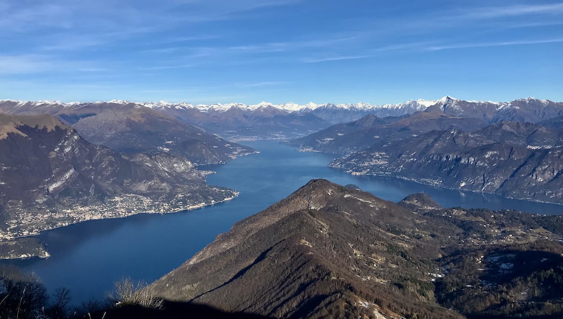
Monte San Primo, with its 1681 m, is the highest peak of the Larian Triangle and also one of the most panoramic points.
From its summit the landscape is very fascinating and wide-ranging: to the north the tip of Bellagio that extends between the two branches of the lake, surrounded by mountains, to the south the gentle hills of Brianza, the plain and the evanescent profile of the Apennines .
The San Primo was, and still is, an important reference point for the inhabitants of the area.
The summit is marked by a cross, two radio antennas and a trigonometric point of the Military Geographical Institute, symbols of religious tradition and modern communications, as well as a geographical cornerstone.
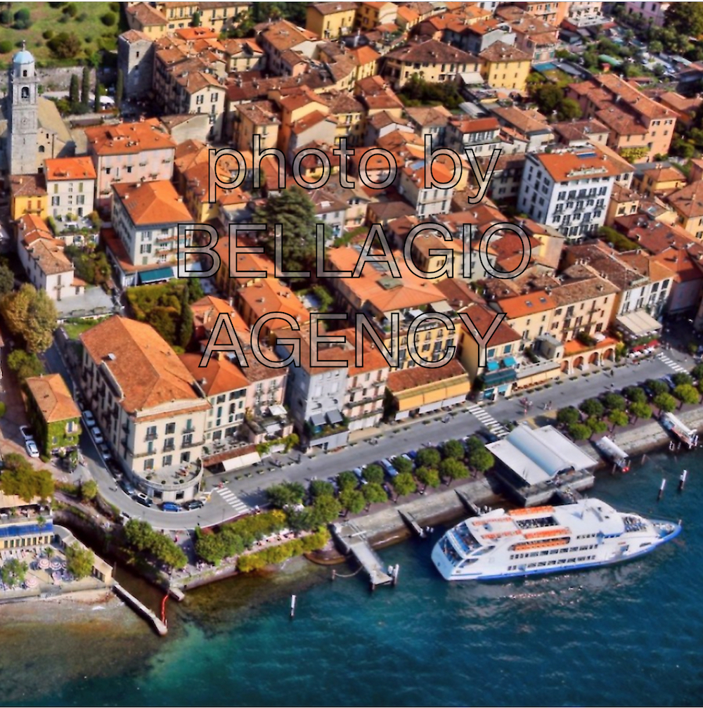
(source Comunità Montana Triangolo Lariano)
HOW TO GET TO MONTE SAN PRIMO
Unfortunately it is not easy to reach the starting points of many itineraries without a car.
The public transport that connects Bellagio with the mountain area is not very frequent and for the return you risk not arriving in time to catch the last bus. It is possible to call a taxi but they are not always available.
By private car you should reach the Monte San Primo Park (1114 m), a large basin with prairies with surrounding woods, where there is the possibility of parking. From this point you can reach Alpe del Borgo (1180m; 0.15 hours) and then Alpe di Terrabiotta (1436 m; 1 hours; 1.15) and continue to the summit of Monte San Primo (1681m; 1; 2,15), joining the path that comes from the ridge of Sormano.
From the Monte San Primo Park you can also reach the Martina Refuge (1221 m; 0.30 hours), at the Alpe dei Picìtt, and from here, following a steep path, Monte San Primo (1681 m; 1.10 hours ; 1.40).